World Livable Atlas
The world livable is meaning to find the most livable places on our planet. It divides the earth into a grid of cells and uses publicly available data to score each of these cells using an adjustable weighting system.
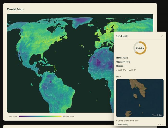
This project explores our planet in respect of the most liveable places. It divides the planet in cells of 0.5° latitude and longitude. At the equator a cell spans roughly 56km x 56km. The grid gets denser to the poles: at 60° latitude its size is 56 km x 28 km. Each grid cell is scored by a number of different metrices, that are weighted by the sliders below to reflect your priorities. Some of the parameters require you to pick a personal preference, such as temperature, rainfall and population. The parameters have different weight ranges to account for corellated data sets. At the end of this survey one might find the perfect place to live.
Check out the World Livable Atlas
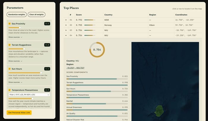
The project sources its data from many different projects. It uses a percentile-rank normalization system and a corellation adjusted weighting system to make the scores comparable. For finding our more about the analysis process and the data used read the data analysis discussion.
Data analaysis, coding and design made in 2026 by Lutz Reiter
← Back